(Planned: June 25 to July 7. 900 miles.)
Actual: June 25 to June 28. 285 miles.
This trip was to be in two parts. The first I would cycle alone, from Palo Alto to Carson City. There I'd meet Mike Vermeulen, who would fly from Fort Collins, Colorado, where he now lives, to Reno, and then cycle to Carson City. We'd then ride together along Highway 50 to Salt Lake City. This connects to our previous joint trip to Reno.
What happened is that I never met up with Mike, and ended up cycling to Reno and flying home. I did the first part of the trip mostly as planned, but unfortunately wasn't in nearly good enough shape to be doing a trip of this magnitude. Also the weather was hotter than planned, reaching 99 in Stockton the day I cycled in and in the 90s elsewhere. Normally I can take the heat okay, but for some reason this time I found it overwhelmed me. I also felt somewhat sick during the trip, although it's not clear whether that was caused by being out of shape and too hot, or in addition to those two. In any case I was in no condition to continue across the Nevada desert, and the prospect of day after day of riding in hot weather with no shade no longer seemed very appealing. Regretfully I decided to bail.
I had still hoped to meet Mike in Carson City at the end of the third day, but I was too exhausted to cycle all the way there and stopped in Woodfords instead.
I could have just flown to Reno, but it seemed more fun to try another route through the Central Valley and the Sierras. This was a chance to visit Stockton for the first time, and also to cycle along Highway 4 over Ebbett's Pass. I like to either begin or end trips at home if possible, and it seemed this would be a good warm up for the main trip; however it turned out that the warm up itself was quite tough (as I expected) and I wasn't sufficiently prepared for it. I'm still glad I did this--it was good to find out that I wasn't ready before committing to a long ride through the desert, and despite the suffering this trip to Reno was a nice one with some beautiful scenery.
| Date | Day | Segment | Miles |
| 25 | Tuesday | Palo Alto to Stockton | 82 |
| 26 | Wednesday | Stockton to Dorrington | 80 |
| 27 | Thursday | Dorrington to Woodfords | 65 |
| 28 | Friday | Woodfords to Reno | 58 |
The 82 miles on Tuesday includes a mile of going past the hotel because I missed seeing it and a mile of coming back. The 80 miles Wednesday includes about 5 miles of walking. The 65 miles on Thursday includes about 9 miles of walking. These were on uphill sections.
I only took a few pictures; mostly I was too tired and hot to pull out the camera. The camera was a Japanese Olympus C-40 ZOOM (the US equivalent is D-40 ZOOM) recently given to my wife as a present by a friend. It's much nicer than the Olympus D-520 ZOOM camera I bought recently, so I brought it along instead, and indeed some of the pictures came out particularly well. The images here are 1/16 the original size save for a couple favorites that are 1/4 original size.
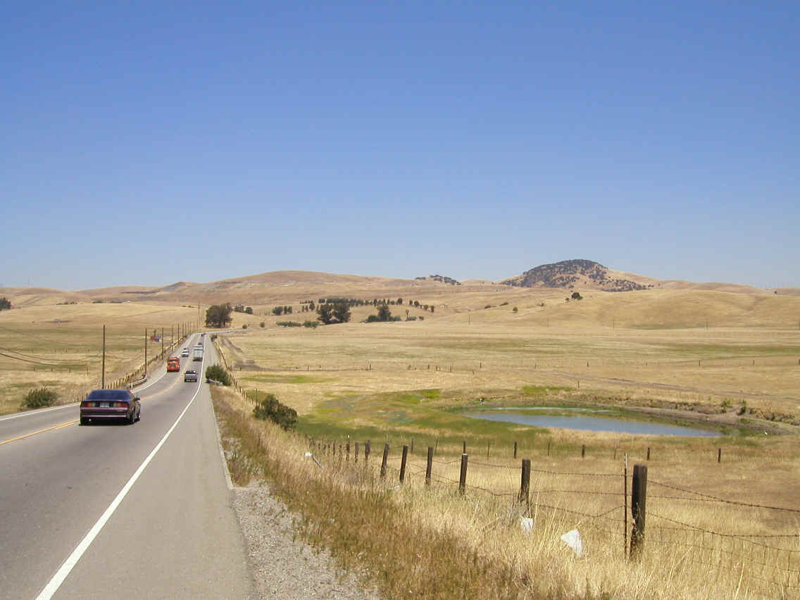
Vasco Road leading out of Livermore.
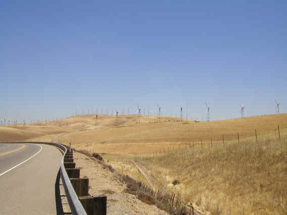
Windmills along Vasco Road.

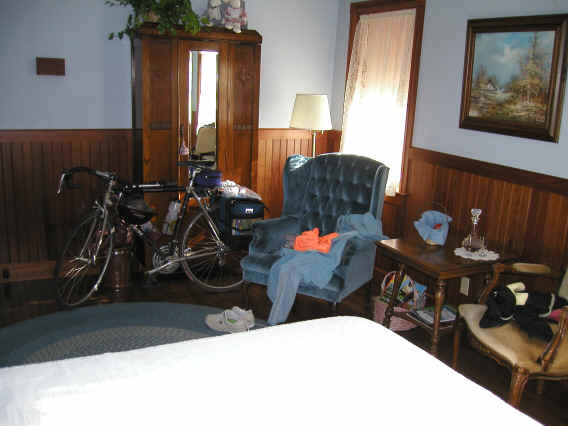
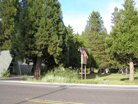
The Dorrington Hotel and Restaurant; the restaurant is closed Tuesday and Wednesday and I was the only guest that night, which means the only person in the entire building. Note the carafe of port in the room; I drank a tiny bit and it was delicious. The bathroom in a separate room and shared, but I got it all to myself.
Across the street, the Dorrington Inn, another Bed and Breakfast. This one was really strange with each room a separate little A-frame house.
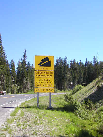
On Highway 4 before Ebbett's Pass, the 24% grade sign. That was just a small section, but the road was steep overall, much of it around 10% I'd guess. I walked up just about all of the uphill portions.
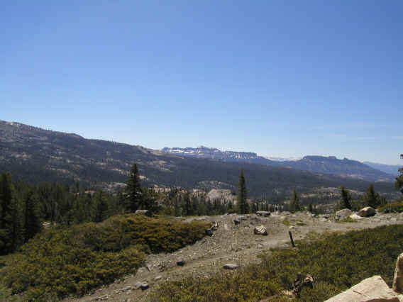
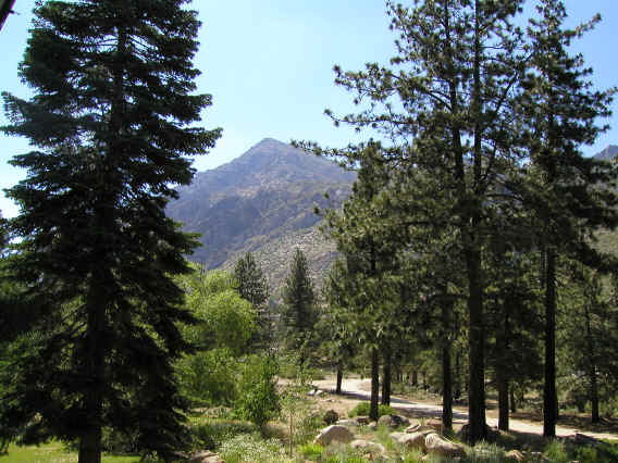
Plenty of stunning scenery on this route; the camera doesn't do it justice. This is one lame attempt. For better photos see the links.
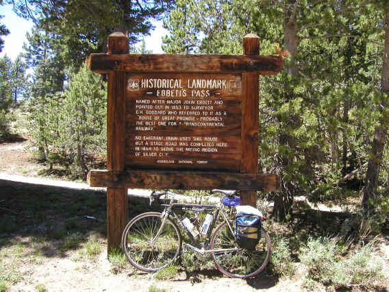
Yes, I did eventually make it to the top. The descent seemed even steeper than the climb. I'm very impressed with people who can do all the passes of the Death Ride, and that's something I'd like to work toward doing some day.
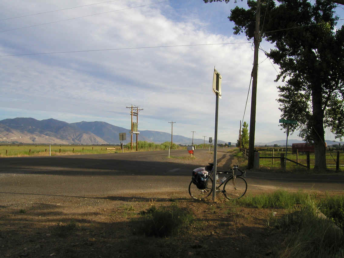
The hotel in Markleeville was full, so I cycled up the hill to Woodfords 6 miles past, and stayed at the larger motel there. This was a beautiful place, as you can see from the scenery visible from just outside my room.
Although I've cycled to Reno (with Mike) before, this trip used a completely different route which aside from the very beginning (home) and end (a short segment from the 431/395 intersection to the airport) only intersected the previous trip at a single point. At first I thought it was this intersection near Kingsbury Grade (which we went up to Reno last time) and took this picture. It turns out I was mistaken, but the picture turned out so well that I'm putting it up here anyway.
Another picture of Kingsbury Grade (from the point where the previous picture was taken), and a picture of the real intersection with the previous trip, the intersection of 88 and Waterloo. Unfortunately this picture came out quite poorly and you can barely see the intersection up ahead. The sign points to Kingsbury Grade.
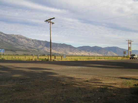
Between Carson City and Reno I took Eastlake Blvd. after Mike told me 395 around the west side of the lake was the busy highway that the map suggested. I didn't take any pictures but Eastlake was a very nice quiet road that allowed you to really enjoy the beautiful scenery.
Ebbett's Pass 1998 ride
report
Ebbett's Pass 2001 ride
report
Death Ride (which uses Ebbett's Pass)
Dorrington Hotel
This is detailed on Mike's page.
You can follow the progress of the trip via the MEV Cylcletour Yahoo group.