Mt. Diablo
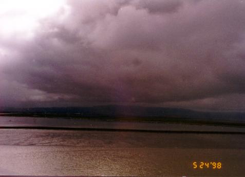 From the top of the Dumbarton bridge, looking south.
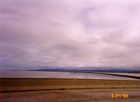 Now looking to the north, where I was headed. Looks like nice weather
today!
Now looking to the north, where I was headed. Looks like nice weather
today!
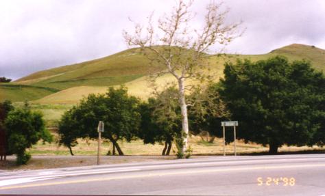 East Bay hills.
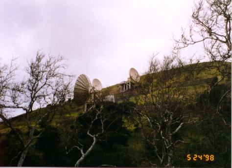 Satellite dishes near Niles Canyon Road.
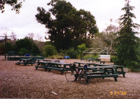 Sunol Community Park, where I stopped for my first snack.
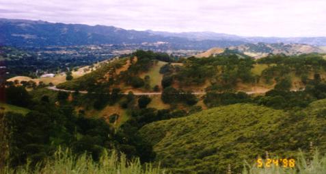
 Mt. Diablo (to the left) disappears into the clouds.
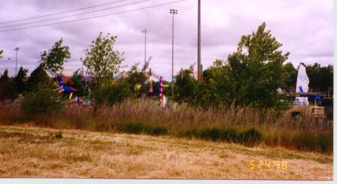 Kites flying into the wind (headwind for me) at or near the San Ramon Arts
and Wind festival.
Kites flying into the wind (headwind for me) at or near the San Ramon Arts
and Wind festival.
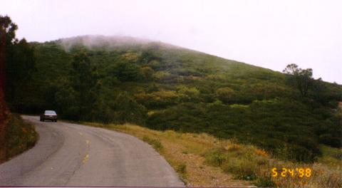
 The entrance to Mt. Diablo State Park and the start of the 11 mile climb.
 Looking down during the climb at part of the road I came up.
 The summit just covered by clouds.
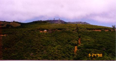 A couple minutes later, the summit just appears. Note the road leading
up.
A couple minutes later, the summit just appears. Note the road leading
up.
 Nearing the summit, which is again obscured by clouds.
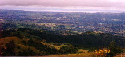 View from near the summit toward the Bay.
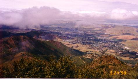 View from the summit toward the North.
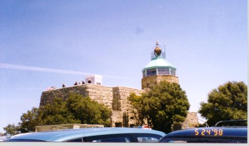 Observation deck at the summit.
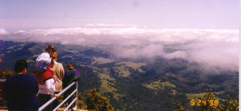 Looking down on the clouds.
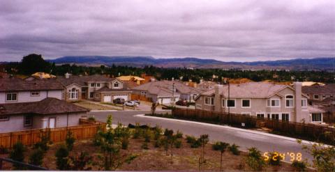
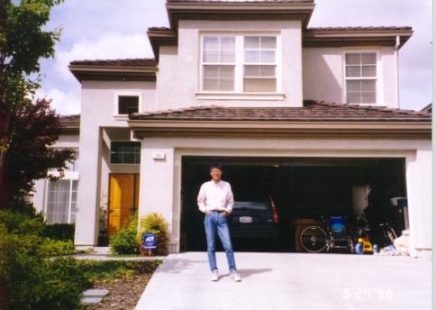 Chi Ku in front of his house in San Ramon.
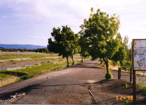 The trail leading back toward Coyote Hills in Fremont. I took this
trail (actually the paved trail on the other side of the water) back on
my very first 100k trip. It was into strong headwinds and just
miserable. I didn't make the same mistake this trip.
The trail leading back toward Coyote Hills in Fremont. I took this
trail (actually the paved trail on the other side of the water) back on
my very first 100k trip. It was into strong headwinds and just
miserable. I didn't make the same mistake this trip.
Return to John Leo's Cycling Page