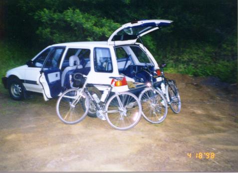
 About 6:30am. Getting
the bikes set up at a turnoff just north of the Golden Gate Bridge.
About 6:30am. Getting
the bikes set up at a turnoff just north of the Golden Gate Bridge.
(Under construction!)
I didn't think I would ride my first century until sometime in the summer, but when Mike Vermeulen, a friend from MIT who currently lives in the Bay Area, told me he was planning to bike from just north of the Golden Gate Bridge down the coast to Santa Cruz and then home, I had to go along. Mike is the best touring bicyclist I know, and I could learn a lot from him about long-distance rides.
Mike picked me up at 5:15am (April 18, 1998) and we drove to San Francisco and across the Golden Gate Bridge. The plan was to find someplace to park just north of the bridge and bike across bridge as the start of the trip. We happend to run into a Sausalito police officer and asked him where a good place to park would be. He said we wouldn't get towed if we parked in one of the turnoffs, so that's what Mike did. And indeed the car was still there and fine when he picked it up the next day.
About 6:30am. Getting
the bikes set up at a turnoff just north of the Golden Gate Bridge.
Unfortunately I took no pictures between the start and the arrival in Santa Cruz, but here's what happened. We got started at around 6:45am, a little after sunrise, and had a beautiful view of the City in the early morning as we crossed the bridge. We made our way to Highway 1, and started biking down the coast. It was a cloudy around Devil's Slide, but once we got near Half Moon Bay the clouds were gone, and the weather was spectacular and unusually warm for the coast. You couldn't ask for a better day.
In downtown Half Moon Bay we stopped at Macdonalds for a second breakfast (around 10am), and then a couple miles down visited my friends David and Betty Watson. After Pescadero the road flattens out and the reliable NW tailwinds blew us right down to Santa Cruz. We stopped briefly at Ano Nuevo and Davenport on the way.
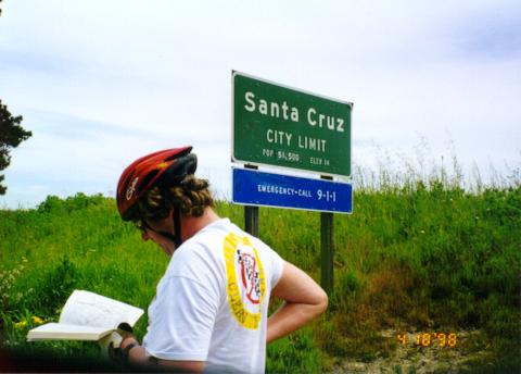 Arrival in Santa Cruz.
When we reached Santa Cruz it was already getting late, so we headed home without any sightseeing. I had planned on going back using Highway 9, but Mike had found a more direct route up a series of other roads that involved less climbing. I took some pictures during this segment of the trip.
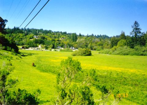 Scotts Valley. The brown
thing is a horse. There were several more to the right out of the
shot.
Scotts Valley. The brown
thing is a horse. There were several more to the right out of the
shot.
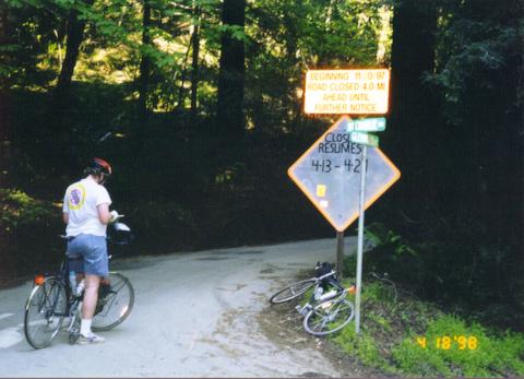 At the base of Mountain Charlie
Road, the one significant climb of the trip. The sign says it is
closed 4 miles up, and Mike considers our options. He decides to
attempt the road, which turns out to be the right choice.
At the base of Mountain Charlie
Road, the one significant climb of the trip. The sign says it is
closed 4 miles up, and Mike considers our options. He decides to
attempt the road, which turns out to be the right choice.
 An interesting house on Mountain
Charlie Road.
An interesting house on Mountain
Charlie Road.
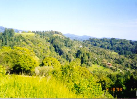 One of several views from
Mountain Charlie road.
One of several views from
Mountain Charlie road.
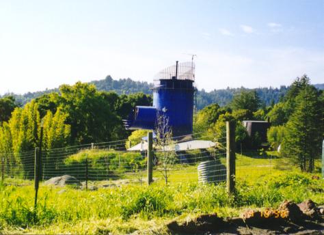
 Old Japanese Road
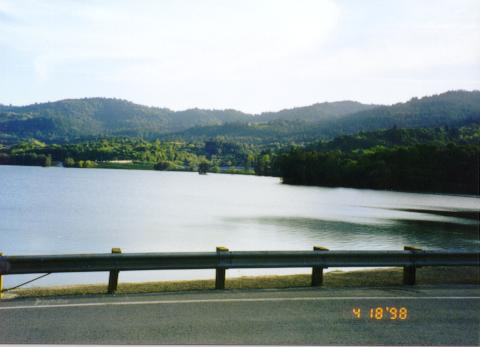 Lexington Reservoir after
the descent.
Lexington Reservoir after
the descent.
When we reached Los Gatos we'd gone about 109 miles. At this point we
split up, and Mike biked home to San Jose. I tried to bike to a
different part of San Jose to catch Caltrain, but I got lost, missed
it by 5 minutes, and ended up biking back toward home along El Camino
Real. It was dark at this point and I had no lighting, but ECR was
well-lit and surprisingly pleasant to bike along at night. Still I
was very tired and sore at this point, and in Sunnyvale succumbed to
hunger and stopped at a Jack in the Box. After eating I still felt no
better, so I called Kyoko and had her meet me in downtown Mountain
View, just 7 miles from home.
Below is a map of the approximate route we took. We biked on the blue path together, and the red path is where I biked alone.
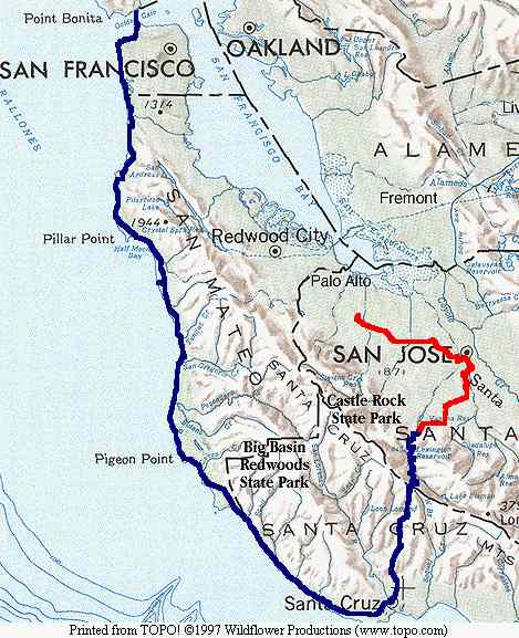
I got to Mountain View at about 9:30pm. So the trip was about 15 hours long, with 10:28 cycling time. Distance was 135.30 miles, making it both my first century and first 200k ride. Average speed was 12.90 mph. The last three measurements are from my Avocet 45tt cyclocomputer and are not nearly accurate to the decimal places they suggest.
Return to John Leo's Cycling Page