 The always beautiful Stanford foothills at the corner of Page Mill and
Junipero Serra/Foothill Expressway, unusually green after all the
Spring rain.
The always beautiful Stanford foothills at the corner of Page Mill and
Junipero Serra/Foothill Expressway, unusually green after all the
Spring rain.
(Under construction!)
To complete the series I decided to bike from Palo Alto to the ocean, down to Santa Cruz, and then back home on Sunday, May 3. This would be my first trip ever with two climbs up the mountains. Also Saturday the winds had been from the South, the usual "storm" direction, which meant I might have headwinds going to Santa Cruz, not to mention rain. All this made the trip a little worrisome.
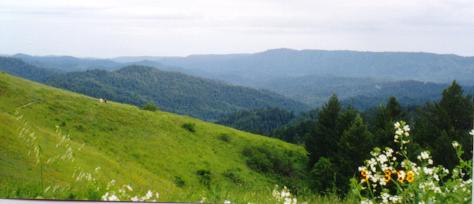
I wanted to take a new route over the mountains, up Page Mill Road and down Alpine Road and Pescadero Road. This turned out to be a fantastic route, now my favorite way to get over the mountains. The views especially on Alpine Road are just stunning, the best I've ever seen, and the pictures below don't nearly do them justice.
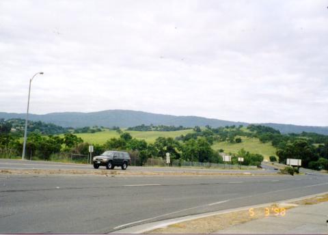
The always beautiful Stanford foothills at the corner of Page Mill and
Junipero Serra/Foothill Expressway, unusually green after all the
Spring rain.
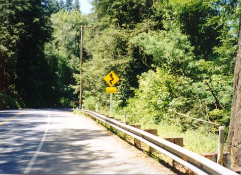
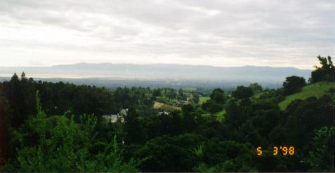 The Diablo Range, covered in the usual haze, seen from Page Mill Road.
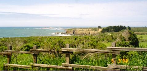
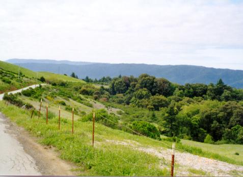 One of the views from Alpine Road.
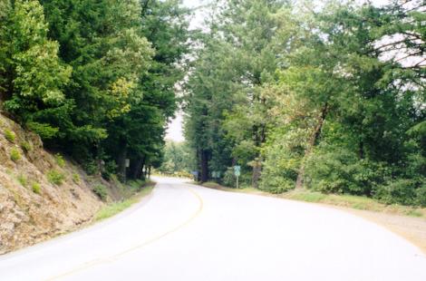
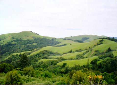 Another view from Alpine Road, or maybe Pescadero Road.
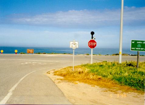 Arrival at Highway 1 and the ocean (Pescadero State Beach).
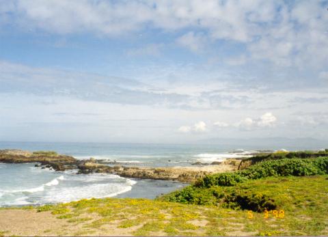 Pescadero.
I decided I would give up going to Santa Cruz if the wind was coming out of the South. However there was no wind at all at Pescadero. So I went south and sure enough ran into headwinds all the way down to Santa Cruz. Just before I got to the city limit the winds shifted 180 degrees and tailwinds blew me into the city.
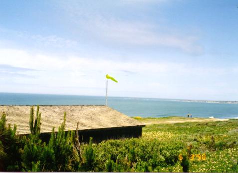
 Ano Nuevo, where I stopped for a much-needed break from the wind.
 Proof of the headwinds.
 Out of the wind at last and back in the mountains! This is the base
of Highway 9. The words say "NEXT 26 MILES".
Out of the wind at last and back in the mountains! This is the base
of Highway 9. The words say "NEXT 26 MILES".
Highway 9 was still closed to automobiles for a couple mile stretch near the base, and was incredibly pleasant to bike along. There were a few other cyclists, people walking, and a few motorcycles. Once the cars came back it was much less enjoyable.
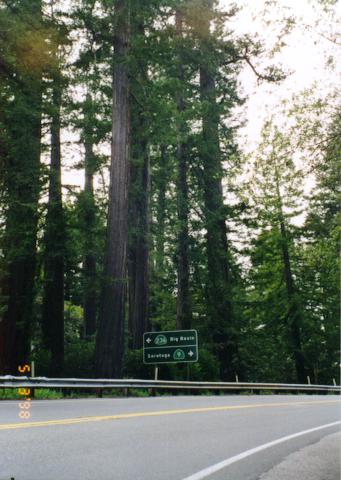 Turnoff to Big Basin.
 A view from Highway 9 taken during a break from the long climb.
 Skyline Boulevard and the top of the climb at last!
I missed Stevens Canyon Road on the descent of Highway 9 (so the map below, which was the planned route, is slightly off), and ended up taking 9 all the way down to Saratoga, adding a couple miles to the trip.
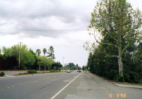 Back in civilization! Saratoga-Sunnyvale Road. Note the ominous clouds.
It seemed like it might rain at any time once I got back in the Valley, but luckily I felt at most a few drops.
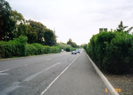 Foothill Expressway in Los Altos, on the way home.
I ended the trip by going down Page Mill Road (the only segment I'd bypassed on the way to the coast) to El Camino Real, then to California Avenue and some backroads home that I used to ride on a lot when I went shopping on bicycle. So it was a nice nostalgic ending.
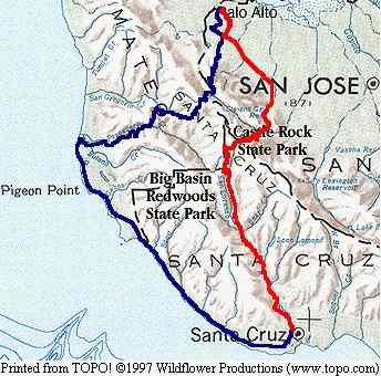
The trip lasted between 10:45 and 11:00 with 9:13:04 cycling time. Distance was 124.38 miles (just over 200k). Average speed was 13.48 mph. The last three measurements are from my Avocet 45tt cyclocomputer and are not nearly accurate to the decimal places they suggest. Below is the approximate route.
Return to John Leo's Cycling Page