
I still have to write up a real trip report, but for now here are the pictures and brief captions.
While Kyoko and Kyle were in Japan I wanted to visit Colorado to climb more in the mountains there. I figure I only have so many summers left in my life, and it would be a waste to let this one go by without a visit to Colorado. I debated whether to fly or drive, but settled on driving. Once that was decided, I thought I'd visit Mount Whitney again for a first serious attempt at the Mountaineer's Route. This would save a little driving time overall. I made a reservation at an inexpensive motel in Bishop and stayed there the night following my Whitney trip. I then drove along Highway 6 through Nevada. Although Highway 50 is called the "Loneliest Road", Highway 6 has to at least match that (or maybe surpass it as it doesn't have the PR). It was an extremely pleasant road to travel along with almost no traffic in either direction. The two highways actually merge in Utah.
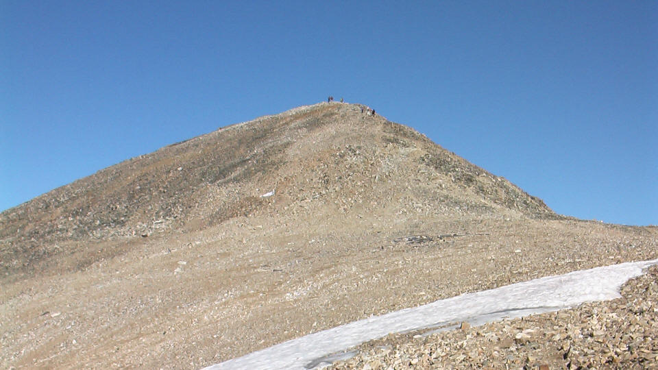
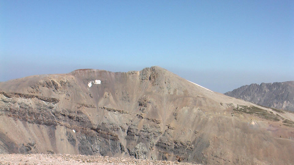
One advantage of taking 6 is that you pass by the only national park in Nevada, Great Basin National Park, which is so isolated I doubt it gets many visitors. I didn't visit either (nor did I visit any parks in Utah, as I originally thought I might--I figured it's better to wait and go with Kyoko and Kyle later), but I'd like to go back sometime. I was surprised to find a very impressive mountain as I approached the park, Wheeler Peak (13,065 feet). This is the second highest mountain in Nevada, and the highest mountain entirely in the state (appropriately named Boundary Peak at 13,147 feet is a sort of sub-peak of Montgomery Peak (13,441) in California). It's very impressive as the picture below shows, and would be great to climb. Apparently there's a fairly short and easy trail to the summit.
I made it to I-70 and stayed the night of the 17th in Green River, Utah. The next day I drove to Frisco and checked into the Alpine Inn where I would stay the next two nights.
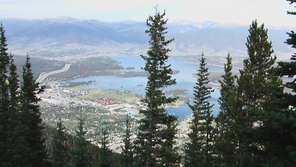
View from Mount Royal trail.
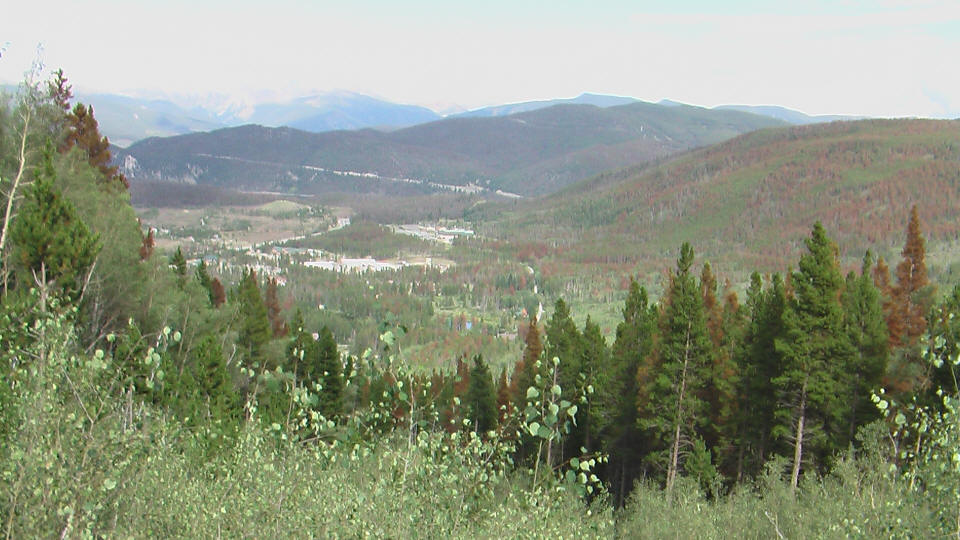
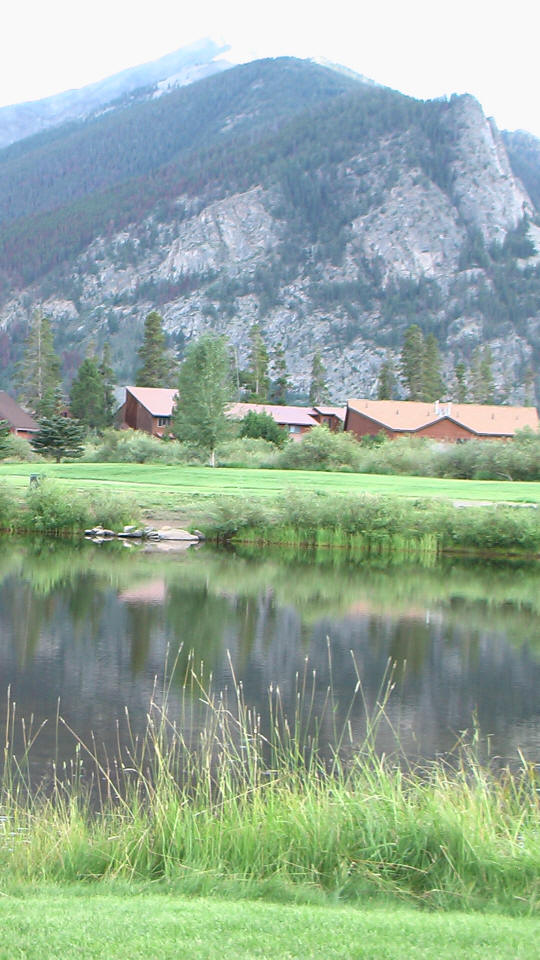
Frisco from Mount Royal trail.
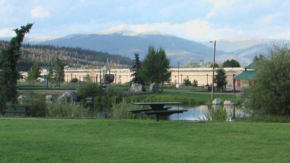
A park in Frisco.
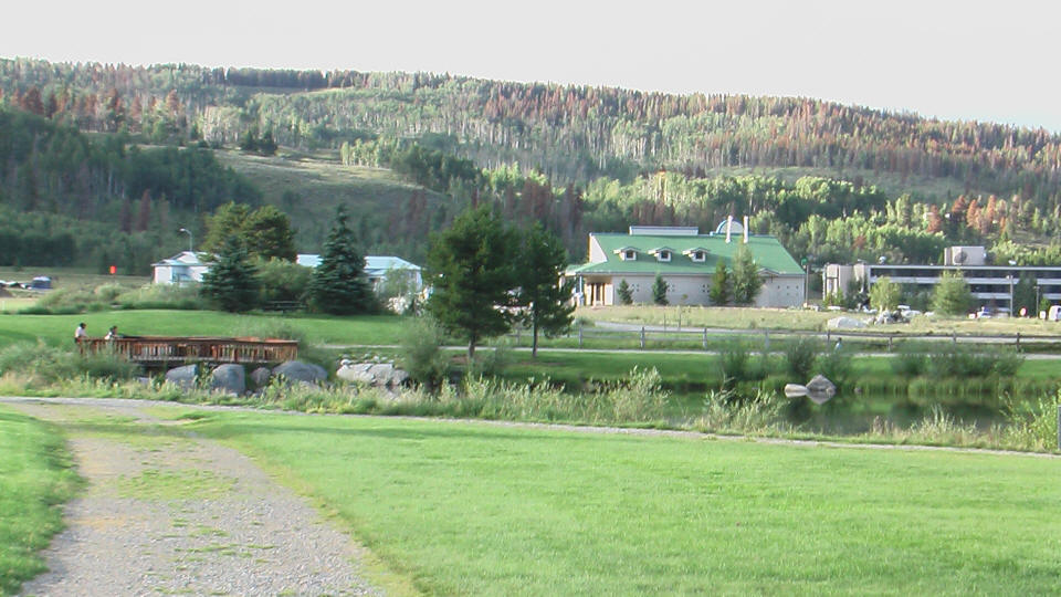
Another view from the park.
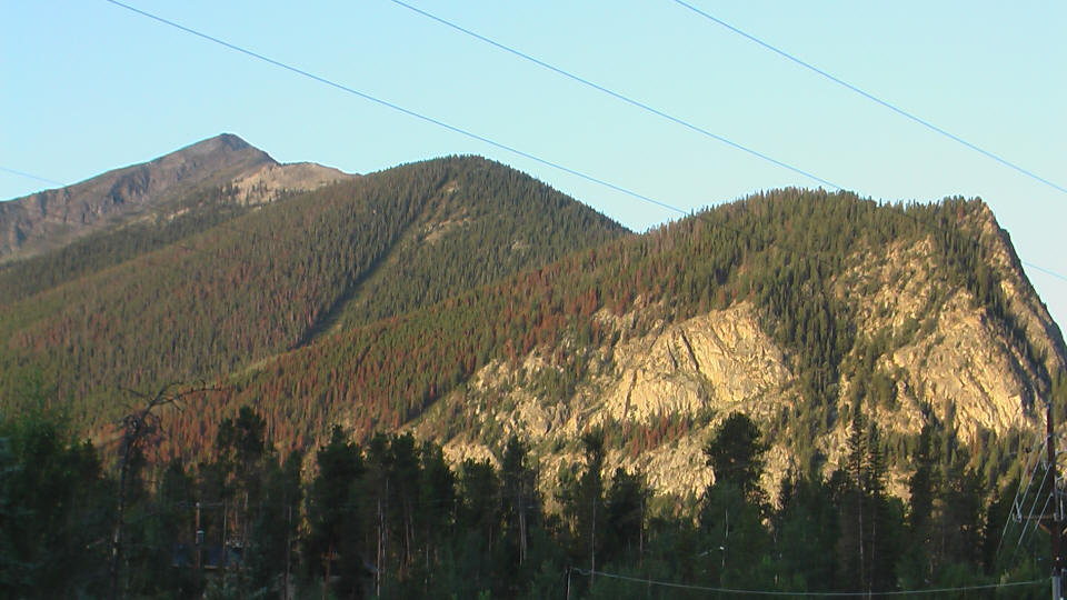
Looking back and Mount Royal on the right, with Peak 1 washed out.
Mount Royal on the right, Peak 1 on the left, and Mount Victoria the small bald bump to the right of Peak 1.
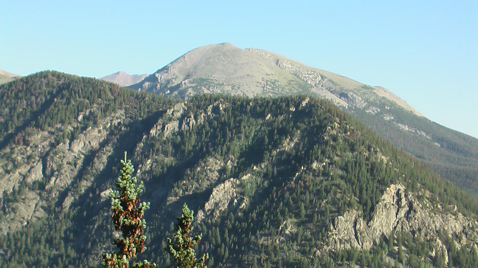
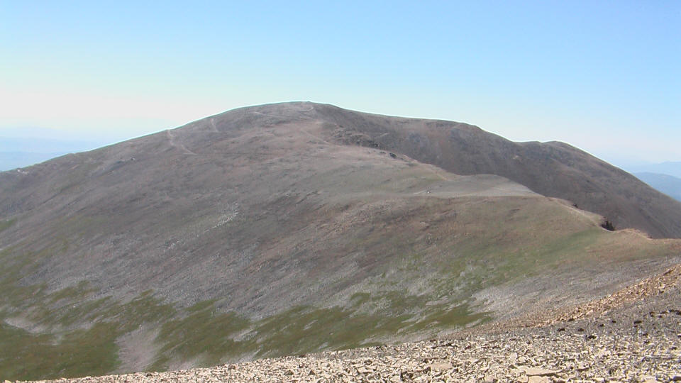
Buffalo Mountain from the Mount Royal trail.
Peak 1 and the ridge leading to it.

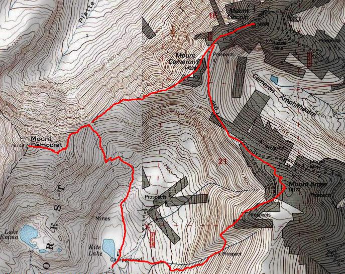
The route, courtesy of 14ers.com. I probably didn't follow this exactly, though.
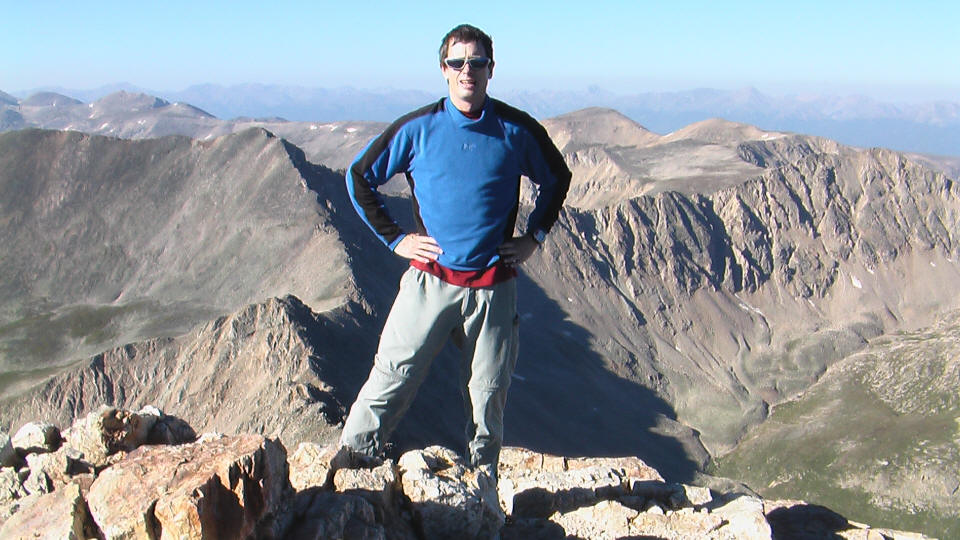
The summit of Democrat.
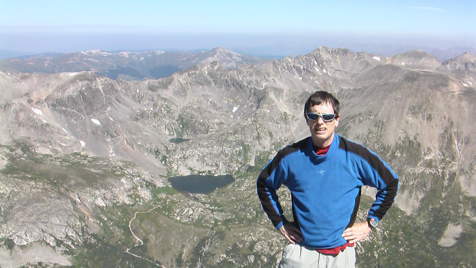
On the summit of Democrat. View to the west.
View east.

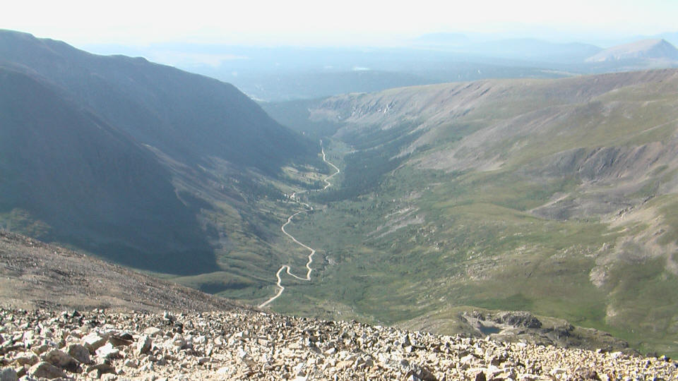
View south of the road leading to the trailhead.
Lincoln from Cameron.
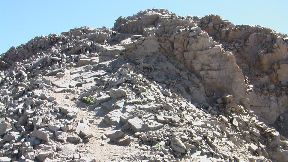
Final rocky trail to the summit of Lincoln.
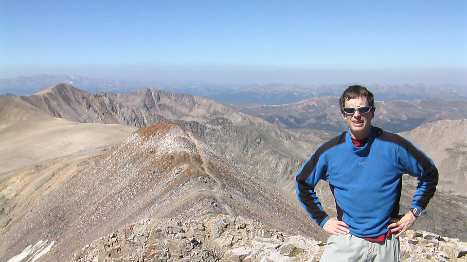
View north from the summit of Lincoln.
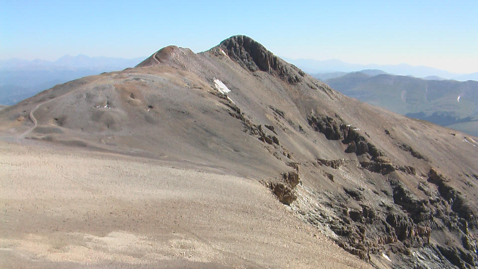
View west from Lincoln. Democrat is the high point on the left. Cameron is the bump just at the left edge.
Mount Bross summit.
Lincoln from Bross.
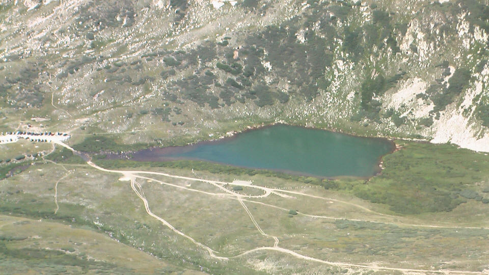
Kite Lake on the final descent from Bross.
Distance: 7.5 miles
Elevation gain: 3700 feet (total)
Low point: Kite Lake (12,000 feet)
High point: Mount Lincoln (14,286 feet)
Time up to Democrat: 1:40 (7:05am to 8:45am)
Time on Democrat summit: 0:15 (8:45am to 9am)
Traverse from Democrat to Bross: 2:40 (9am to 11:40am)
Time on Bross summit: 0:06 (11:40am to 11:46am)
Time down: 1:17 (11:46am to 1:03pm)
Total Time: 5:58
| Location | Time |
| Trailhead | 7:05 |
| Democrat/Cameron saddle | 8:00 |
| Democrat summit | 8:45 |
| leave Democrat summit | 9:00 |
| Democrat/Cameron saddle | 9:38 |
| Cameron summit | 10:20 |
| Lincoln summit | 10:44 |
| leave Lincoln summit | 10:53 |
| Bross summit | 11:40 |
| leave Bross summit | 11:46 |
| Trailhead | 1:03 |
To be written.