This is my favorite hike near LA, and I'd already done it three times before, in 2003, 2004 and earlier this very summer in 2006. In fact it had immediately become my tradition to do this hike to start off the summer hiking season (I didn't hike at all summer 2005, I think). This time, for the first time, I did the hike twice in the summer, the second time right before school starts (September 28), and so it provided the perfect bookends for the season. But it was more than that--in a sense it also doubled as the first hike of the fall, because this year for the first time I want to continue hiking beyond the summer. My goal is to start learning to do winter and snow climbing, so that I can climb peaks like Shasta and Rainier (but in the summer!). To that end I want to keep hiking as the weather gets poorer, and also train myself to carry the heavier loads I'll need to bring up those kind of mountains.
The real reason I did this hike at the end of the summer, however, has nothing to do with all that, because it came about long before I thought of such things. It goes way back to a banquet given for Ma Ying-jeou, the mayor of Taiwan, on March 26 in downtown LA. Our UCLA Music of China group performed at this banquet, and when we drove back someone asked Wang Huan, one of our members (and also my Chinese TA) what her hobbies were. She mentioned mountain climbing as one of them, and immediately I asked her more about this. I wanted to go hiking with her as well, but she was too busy, and even during the summer she had to TA Chinese again and then took her parents on a whirlwind tour of a great deal of the US. It wasn't until September 24, almost the end of the summer, that she was finally able to join me on a hike.
From what I knew of Huan I guessed this hike would be just right. A reasonably steep and tough hike but not overly long. My guess turned out to be correct. She had no trouble at all with the hike and seemed to really enjoy it. I let her lead the way at her own pace and that turned out to be very comfortable for me. Indeed even though this was her first hike in a long time she went quite a bit faster than the first time I did this hike and almost identical to the second time I did it. So very impressive. Since this was the symbolic start of my fall hiking season as well, I decided to try to carry more weight this time than usual. I loaded up my larger backpack, the Arc'Teryx Khamsin 52, with as much junk as I could think of (both rain jackets, fleece gloves, winter hat, headlamp, all possible hiker supplies) and then added four liters of water. Amusingly the pack and everything in it sans water weighed 10.5 pounds, and the water in Nalgene bottles weighed 11 pounds! So almost 22 pounds, a good weight to start out with. I need to get a bigger backpack and start increasing weight up to 40 pounds and beyond. This trip I had no trouble with the weight, although my hips need to get used to a hip belt again.
I woke up at 4am and picked up Huan at 5am. Even though this was a Sunday and so traffic should be less of a problem I wanted to start early both because it's nicer and to avoid the crowds a bit. This would be the first time I've ever done one of the big mountains near LA on a weekend, and I expected a big crowd. Indeed when we pulled into Manker Flats there were already several cars parked, whereas on a Wednesday I'd be almost the only one on the mountain all day. We got started after twilight (6:18am) but before sunrise (6:43am) and could see everything fine. The mountain itself blocks the sun most of the morning in any case, until you get high enough.
There were some amusing differences between this hike and the three others I've done. I'd always stopped before at the log bench in front of the ski hut to eat some snacks on previous trips, and intended to do so this time as well. But although we could see the hut many times before we reached it, somehow both of us missed the hut when we came upon it and went right past! I found out from another hiker that you can actually go in (which I've never tried) and get spring or stream water out of the sink, or something like that. I'll have to try that next time. Anyway we stopped a little further at some rocks in the shade with a nice view and ate some snacks there instead, so that was still great. Also I warned her there was a section a little past there that was rocky and easy to lose the trail, but somehow we went right through that section without realizing it and without having the least bit of trouble!
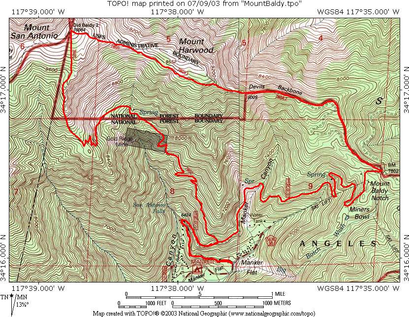
There were supposed to be Santa Ana winds that day and hot (90+) temperatures in the lowlands, but the winds never came and temperatures for the hike itself were nearly perfect. I did wear my fleece a bit at the start and on the top and going down a bit, but otherwise was fine without it and at the very end it was a little hot but not bad at all. I ended up drinking only one liter (which was the only liter of Gatorade; the rest were water) of the four I brought! I also brought my leftover Whitney food, eating a little of the dried fruit and the last two crackers but still not touching the Cliff Bar. I brought some Cheez-It Four Cheese Crisps as well which were the food highlight of the hike, and ate a couple of Huan's mini Almond Joy bars which tasted great too. We just stopped to eat at the rocks and then at the summit. Speaking of that, here's a picture of us on the summit.
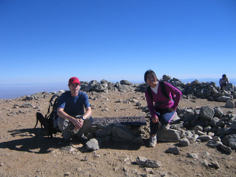
There were a few people on the summit when we got there, and more joined us. Since the Santa Anas didn't come there was still some fog in the valleys and haze, but the views were still excellent. We enjoyed perfect temperatures and low winds on the summit for a half hour and then started down the Devil's Backbone trail. I'd already taken many pictures for the 2003 hike but took one this time from this trail back toward the summit
As we headed down we ran into many people coming up the trail. The ski lifts were running since it was the weekend and a popular thing to do is to take the ski lifts to the notch at 7840 feet and then hike the remaining 3.2 miles to the summit (10,064 feet). Most people we passed seemed to be suffering from even this effort and we were very often asked how far it was to the top. At first we said things like a half hour or an hour without really thinking, but then I calculated we'd descended for about an hour and we upped our estimates to 1.5 hours or 2 hours or more. One guy asked if we had any water--he was about out. I've only been asked for water twice and by incredible luck both times were when I had plenty of water to spare (the other time was for North Dome when I had a water filter, the only time I've brought one on a hike). I was very happy to fill the guy's water bottle and lighten my load.
We got down just after 1pm and drove to San Gabriel for lunch. Surprisingly traffic was quite heavy even on a Sunday, but at least it kept moving. We went to the mall at the corner of Del Mar and Valley and ate at an excellent Taiwanese Deli there that she recommended. The food was just perfect after a hike, and I was surprised to find I really like pig's ears, the first time I'd tried them. We then drove home. I had a terrific time hiking with Huan. I'd been waiting to do this hike with her for six months and it was well worth the wait! Not only did her pace match mine well but it was extremely enjoyable to talk with her. I certainly hope we can hike together more in the future.
Distance up: 5.1 miles
Distance down: 6.8 miles
Total distance: 11.9 miles
Elevation gain: 3904 feet
Time up: 3:08 (6:35am to 9:43am)
Time on top: 0:30 (9:43am to 10:13am)
Time down: 2:51 (10:13am to 1:04pm)
Total Time: 6:29